 you
are here » st. joe river homepage
» wmp »
tasks
»
task 2 » soils
you
are here » st. joe river homepage
» wmp »
tasks
»
task 2 » soilsyou
are here » st. joe river homepage
» wmp »
tasks
»
task 2 » soils
|
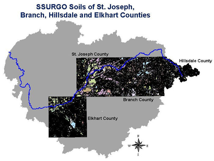
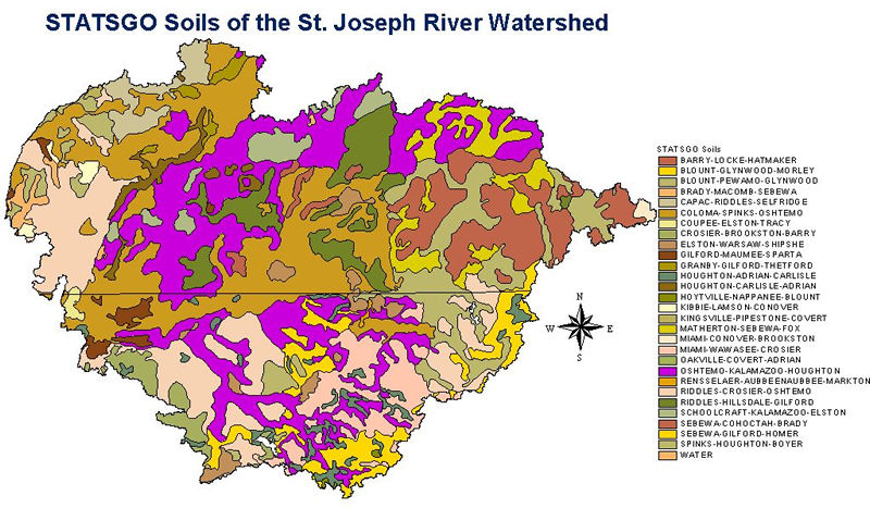
STATSGO soil shapefiles were dowloaded from the Michigan Center for Geographic Information (for the Michigan portion) and from the Purdue University Center for Advanced Applications in GIS (for the Indiana portion). The files were clipped by the watershed boundaries. The image below displays four counties in the watershed for which detailed SSURGO soil data is available electronically. Click on a county or county name to view the data. |